Chorley is administered jointly with the adjacent parish of Cholmondeley by Cholmondeley & Chorley Parish Council.
From 1974 the civil parishes were served by Crewe and Nantwich Borough Council, which was succeeded on 1 April 2009 by the unitary authority of Cheshire East.
There are no schools within the civil parishes. A former village schoolhouse located on the Cholmondeley Estate and dating back to 1862 was converted in 1988 to the first public house (The Cholmondeley Arms) on the estate for over a century.
Chorley and Cholmondeley fall within the catchment areas of Bickerton Holy Trinity CE Primary School in Bickerton for primary education and Bishop Heber High School in Malpas for secondary education.
The parishes fall in the parliamentary constituency of Eddisbury.
CHOLMONDELEY
Cholmondeley (pronounced ‘chum-lee’) is a civil parish in Cheshire, England, north east of Malpas and west of Nantwich.

The name means “clearing of Ceolmund”, this being an Old English forename made up of the elements ceol (‘ship‘) and mund (‘protection‘).
The parish includes the small settlements of Croxton Green and Dowse Green. Nearby villages include Bickerton to the north east, Bulkeley to the north, Chorley to the east, No Man’s Heath to the south west, and Bickley Moss to the south.
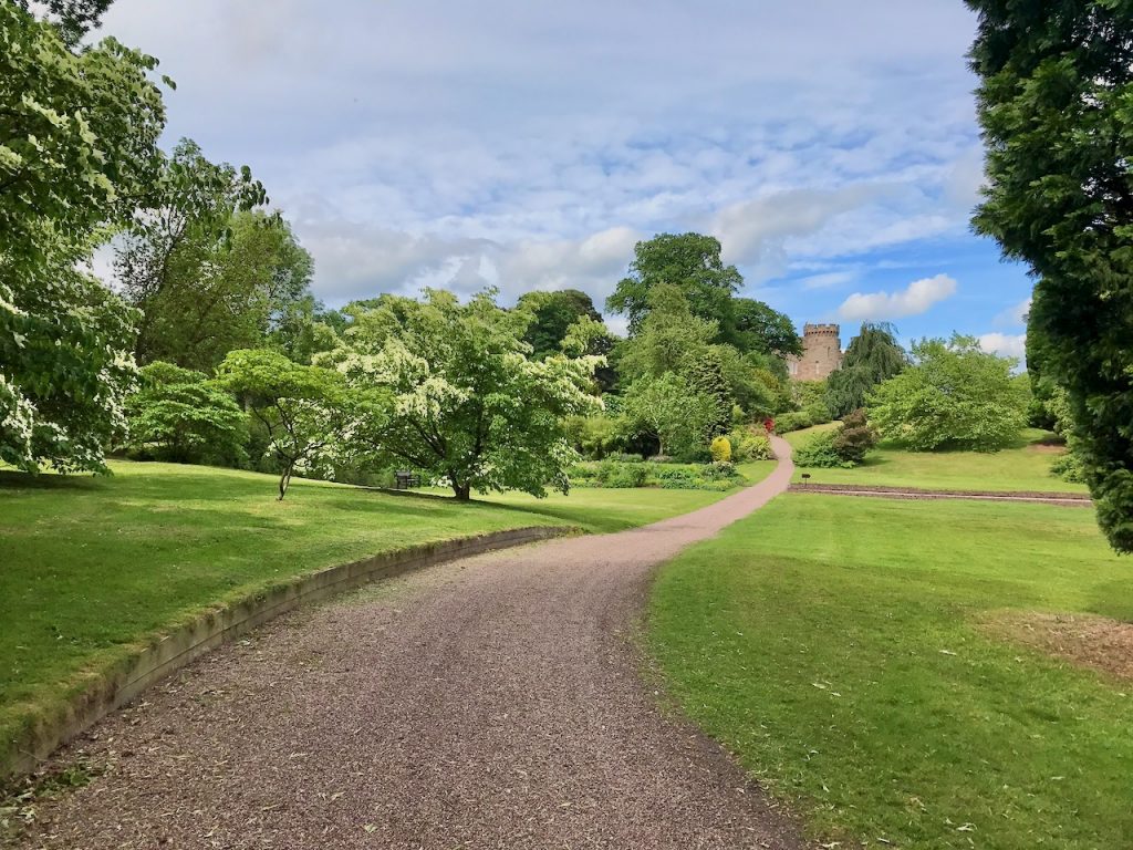
Much of the civil parish falls within the Cholmondeley Estate, owned by the Marquess of Cholmondeley.

The parish has a total area of 2,647 acres (1,071 ha) and contains part of the large mixed woodland of Moss Wood, as well as Long Plantation, Marl Piece, Garden Covert, Nevill’s Wood, Coronation Wood and several unnamed smaller woods and plantations. There are two large lakes, Chapel Mere (designated as a Site of Special Scientific Interest) and Deer Park Mere, as well as several smaller meres.
The high point is 125 metres on Castle Hill in Cholmondeley Park. The River Weaver runs through the parish from the north west to the south east.
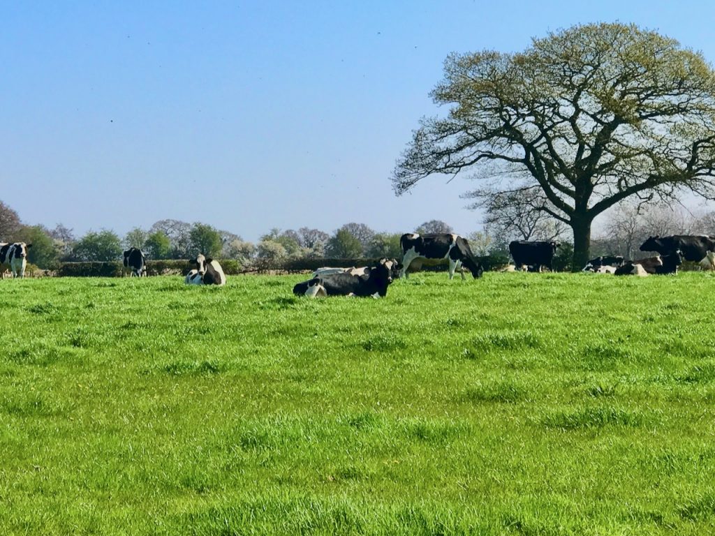
The land use is predominantly agricultural, with cattle pasture and some arable land. Cholmondeley Park supports rare-breed cattle, sheep and goats, including longhorn cattle.
According to the 2011 census, the population in Cholmondeley was 157. The population has generally decreased over time – the historical population figures are 292 (1801), 269 (1851), 298 (1901), and 266 (1951).
The post town is Malpas, the postcode district is SY14 and the telephone dialling code is 01829.
CHORLEY
Chorley is a hamlet and civil parish in Cheshire, England, 5 miles to the west of Nantwich and 6 miles to the north east of Malpas.
Nearby villages include Faddiley, Norbury, Ravensmoor and Wrenbury.
The River Weaver forms the southern boundary of the parish and part of its western boundary, and two of its tributaries run north–south through the parish. Another brook forms part of the parish’s northern boundary.
There are multiple small meres and ponds scattered within the parish, as well as a few small areas of woodland.

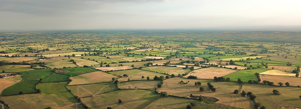
The terrain is gently undulating, with a high point of around 100 metres at the north-west corner of the parish and a low point of around 75 metres in the south, near Chorley Stock.
The main land use is agricultural.
According to the 2001 census, Chorley had a population of 100, increasing to 107 in 42 households at the 2011 census. This represents a decline from the population of 1851. The historical population figures are 126 (1801), 173 (1851), 132 (1901) and 167 (1951).

The post town is Nantwich, the postcode district is CW5 and the telephone dialling code is 01829.
