
A Neighbourhood Plan is a way of helping local communities influence the planning of the area in which they live and work. It is an opportunity for the community to have their say in the future of their parish, not just in housing but also aspects protecting views, community facilities, environment, cycle routes and footpaths.
Whilst a Neighbourhood Plan has to be in conformity with national and local authority planning policies, it means that local communities can help shape what future development should occur in their parishes, what it should look like and where it should go.
The Neighbourhood Plan will be used by planning officers to determine planning applications, so it must concentrate on “land use” policies. For example, it cannot cover issues such as speed limits, verges being chewed up, and traffic signs.
Producing a Neighbourhood Plan involves the whole community, and at the end of the process it is independently examined.
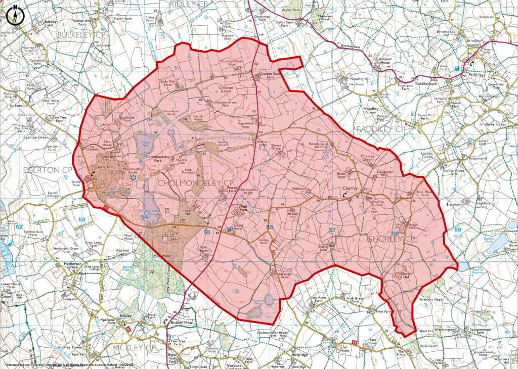
Select from the NEIGHBOURHOOD PLAN menu above, for more detail on the Cholmondeley and Chorley Neighbourhood Plan.