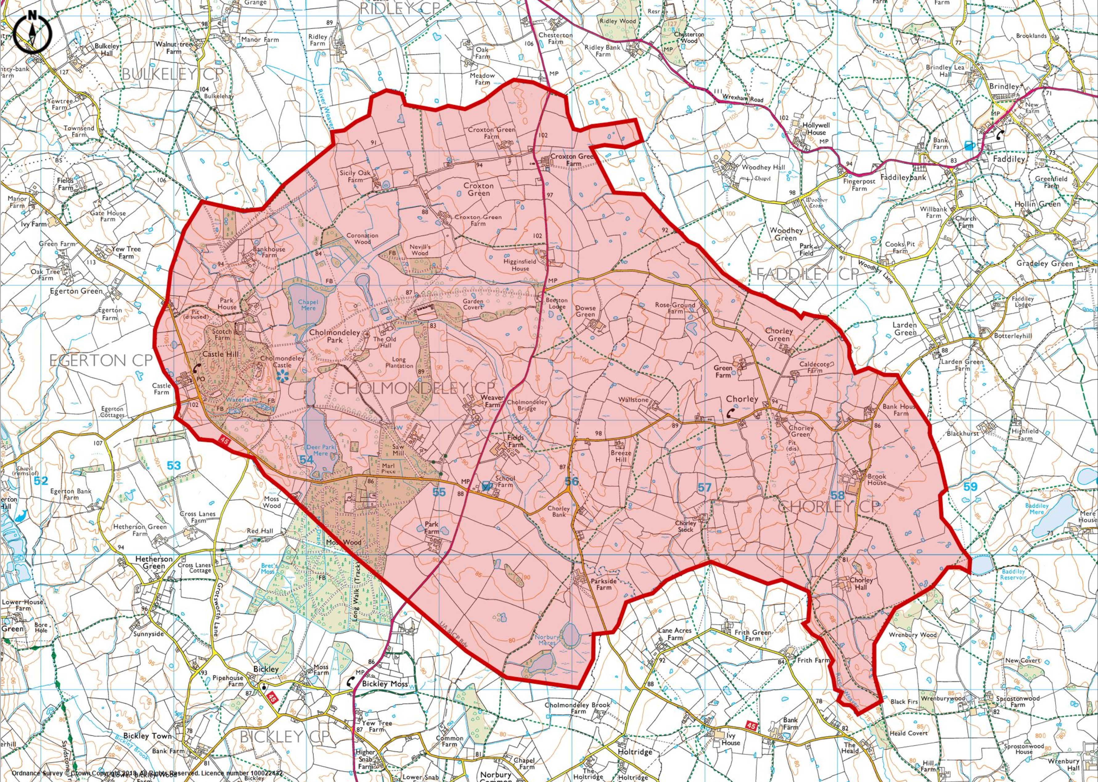
1:25000 Ordnance Survey Map Showing Cholmondeley Chorley Neighbourhood Plan Area highlighted in red
Official Site of the Cholmondeley and Chorley Parish Council
1:25000 Ordnance Survey Map Showing Cholmondeley Chorley Neighbourhood Plan Area highlighted in red
By continuing to use this website, you agree to the use of cookies. More information
The cookie settings on this website are set to "allow cookies" to give you the best browsing experience possible. If you continue to use this website without changing your cookie settings or you click "Accept" below then you are consenting to this.